Over 50 ed assistants cut for First Nations students

Conservation authority warns of flood with heavy rain
September 21, 2021
ADVISORY FROM THE ST. CLAIR REGION CONSERVATION AUTHORITY
A high pressure system over Atlantic Canada is forcing warm, moist air from the US gulf to stream into Southern Ontario, prompting widespread warnings for thunderstorms, heavy rainfall and potential for flooding. Forecasts are predicting 15-30 mm of rain across the St. Clair Region watershed today, with an additional 40-50 mm rain tomorrow. Total rainfall potential for this week is predicted to be between 50 and 100 mm, however local rainfall amounts may vary.
High amounts of rainfall in a short period of time can lead to increased runoff and flash flooding, particularly in urban areas. Residents in these areas may experience ponding and/or flooding on roads should the rainfall intensity be greater than local storm drain capacity. Residents near streams and the Sydenham River may experience water levels rising quickly as a result of high intensity rainfall.
This amount of rainfall is anticipated to elevate water levels into natural floodplain areas, parks and farm fields. Soils are expected to be saturated from the rain and could contribute to ponding, increased runoff into watercourses, and possible increased erosion and seepage issues.
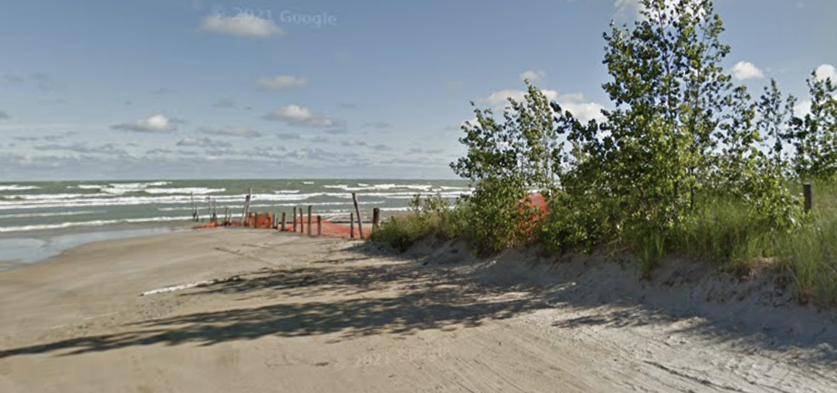
This weather system is also anticipated to bring strong winds throughout the week. Beginning Tuesday afternoon, Lake St. Clair is anticipated to experience southerly wind gusts around 50 km/h before subsiding this evening. Winds are then predicted to become northerly later tonight, with Lake Huron experiencing gusts around 60 km/h, increasing overnight to 70 km/h Wednesday morning and growing further to 80-90 km/h mid-afternoon, continuing overnight into Thursday morning before subsiding.
Waves on Lake St. Clair are predicted to be one metre in height later this morning, dropping to a half metre this afternoon before building again to one metre Wednesday morning. Waves on Lake Huron are predicted to be two metres in height today, subsiding to one and a half metres this evening before building to two metres later overnight, building further to three metres Wednesday evening. Residents along these shorelines may experience wind-driven high water levels and wave action, with a potential for erosion.
Residents are reminded to avoid shorelines, watercourses and flooded areas due to dangerous conditions, slippery banks and cold, swift moving water. Children and pets should be kept away from the water.
The Conservation Authority continues to monitor watershed conditions and will issue advisories to municipalities and media should flood issues arise.
Municipal emergency response staff and road superintendents should monitor local conditions closely.

Over 50 ed assistants cut for First Nations students
July 3, 2025
Read More

Ham radio fans say hello to the Netherlands without leaving Enniskillen
July 3, 2025
Read More

Petrolia splash pad almost ready
July 3, 2025
Read More

Two drowned in the waters off Ipperwash on the Canada Day weekend
July 2, 2025
Read More
