Brooke-Alvinston candidates talk taxes, roads

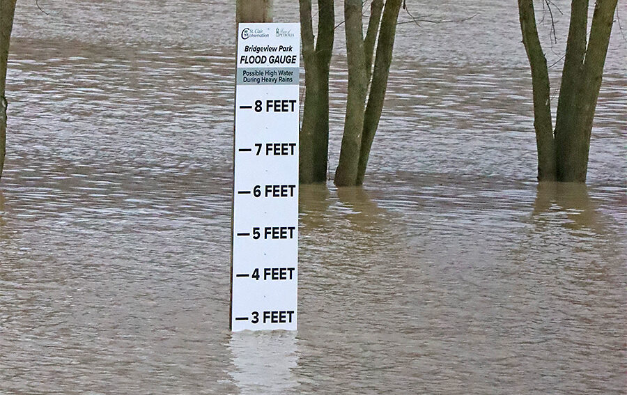
Flood watch now in effect in Lambton
December 30, 2024
The St. Clair Region Conservation Authority is keeping a close eye on the rising Sydenham River. Over the past two days up to 45 mm of rain has fallen, saturating the ground. The double digit temperatures over the weekend also helped melt the snow pack, particularly in the traditional snow belt area, contributing to the rising river levels.
Several roads have already been closed including Stanley Line from Kimball to Waubuno, Pretty Road from Stanley to McCallum and Plowing Match Road from Petrolia Line to Rokeby.
Here’s the conservation authority’s full statement.
Message: Rising water levels, flooded roads
- 15 to 45 mm accumulated rainfall over the past 48 hours
- Saturated conditions, water levels still rising
- Confirmed road closures due to flooding
Weather Situation:
Over the past 48 hours the watershed has received 15 to 45 mm of rainfall, with the majority of it falling yesterday. The forecast is calling for above-freezing daytime temperatures today through Wednesday, with overnight temperatures hovering close to freezing. Additional rainfall amounts of trace to 5 mm is forecast for Tuesday for areas in the southern portion of the watershed (Wallaceburg), with the northern areas (Sarnia, Strathroy) forecast to receive trace amounts of rain and snow Tuesday and Wednesday.
Risks:
Water levels are continuing to rise across the region and have exceeded bankfull conditions, spilling into surrounding floodplains and onto roads. Road closures due to flooding have been confirmed for:
- Stanley Line from Kimball Rd. to Waubuno Rd.
- Pretty Rd. from Stanley Line to McCallum Line
- Plowing Match Rd. from Petrolia Line to Rokeby Line
Further flooding is anticipated as the influx of water continues to move through the watershed to the southern reaches of the Sydenham River.
Individuals are reminded to avoid watercourses and flooded areas due to dangerous conditions, slippery banks and cold, swift moving water. Children and pets should be kept away from the water.
The Conservation Authority continues to monitor watershed conditions and will issue advisories to municipalities and media should flood issues arise. Municipal emergency response staff and road superintendents should monitor local conditions closely.
This message will remain in effect until 12 p.m. Thursday, January 2nd, 2025, unless otherwise updated.

Front Page
Brooke-Alvinston candidates talk taxes, roads
October 15, 2026
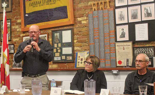
Heather Wright/The Independent Raising taxes, finding grants and opening up council meetings to public questions were among the topics at the only All-Candidates debate in Brooke-Alvinston. About 200 people were in the Community Centre Oct. 7 to hear from the four mayoral and six council candidates. The event started with a surprise, when candidate Tom Scott announced he was withdrawing
Read More
Front Page
Growth, housing issues at Warwick debate
October 15, 2026
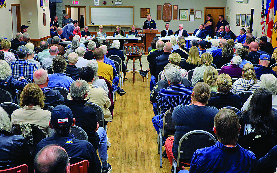
Blake Ellis/The Independent Growth, taxes and housing were just some of the issues raised by voters in Warwick Township. The Watford Legion hosted an all-candidates meeting on Oct. 7, where residents could hear from the six candidates vying for the four council seats for Warwick Township. In a question about needing more growth in the township, incumbent council candidate Joe
Read More
Front Page
LAMBTON VOTES – AUDIO: Plympton-Wyoming round table
October 15, 2026
Strong mayors powers panned by council contenders Heather Wright/The Independent The people running to be the next Plympton-Wyoming council members aren’t fond of the extra powers the next mayor will have. And even the mayoral candidates don’t agree on how the powers handed out by the province to build more homes faster, should be used. The Ford government has given
Read More

Front Page
LCCVI’s Stek heading to OFSAA
October 15, 2026
The Independent LCCVI tennis player Matt Stek will be going to the provincial championship. Stek won all three tennis matches at SWOSSA Wednesday defeating the WECESSA champion in the finals 8-3 to bring home the gold. Stek will head to OFSAA Oct. 26 to 28.
Read More